Contents [show]
Hurricane Helene Will Be Big: Possible Category 4; Get out early
Brace for Impact: Hurricane Helene to Bring Devastation Far Beyond the Coast
Hurricane Helene, a powerful storm poised to make landfall Thursday evening along Florida’s northwest coast, is sending shockwaves of concern far beyond the beaches. While Floridians along the coast prepare for winds and storm surges, communities hundreds of miles inland are also in the crosshairs. The National Weather Service (NWS), in a report from NOAA, warns that Helene’s fierce winds and flooding rains will impact areas as far-reaching as the Blue Ridge Mountains and metro Atlanta.
Hurricane Helene’s Reach: Coastal Danger and Inland Perils
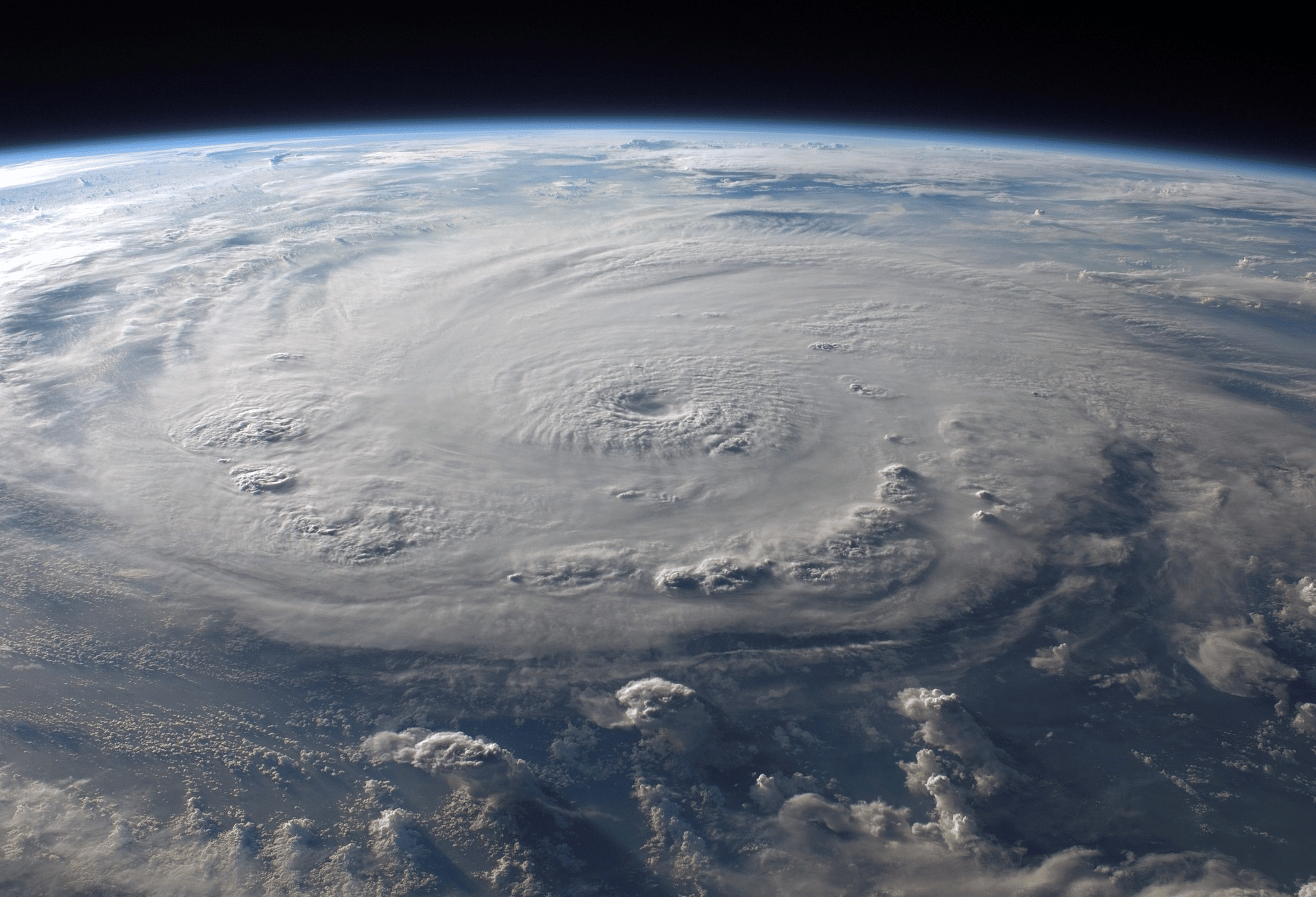
Helene is no ordinary storm. With a wind field that spans 275 miles from its center, it promises to unleash torrential rainfall and hurricane-force winds far from where it makes landfall. As of now, Florida’s west coast, particularly Fort Myers and Tampa Bay, braces for life-threatening storm surges. Residents in these areas could see storm surges reaching 6 feet in Fort Myers and a staggering 6-9 feet in Tampa Bay, with some areas possibly experiencing surges higher than 12 feet.
If you’re in one of these surge zones, do not hesitate. Heed evacuation orders immediately—your safety is at stake.
But Helene won’t stop at the coast. As the storm moves inland, heavy rains will drench Tallahassee, the Atlanta metro area, and western North Carolina, creating severe flood risks for areas that haven’t seen winds like this in decades. Communities in the southern Appalachians, including Asheville, are particularly vulnerable, where up to 18 inches of rain could fall by Friday.
Inland Communities: An Unseen Threat Looms
Inland areas may not have the dramatic waves of a coastal surge, but Helene’s relentless rain is expected to push rivers and tributaries to the brink, with landslides, flash floods, and blocked roads likely. Recent rain has already saturated the ground in these regions, meaning trees could topple easily, leading to downed power lines and damaged property. The combination of soaked ground and fierce winds might overwhelm the towering trees of the Blue Ridge Mountains and beyond, which haven’t weathered such storms in years. Atlanta, too, faces gusts that could knock out power across the metro area.
Safety First: Prepare Now, Before It’s Too Late
The sobering truth is that flooding, particularly from extreme rainfall, is the deadliest direct cause of fatalities in U.S. hurricanes. As you prepare for Hurricane Helene, remember these critical safety tips:
- Evacuate if told to do so. Local emergency managers know the risks and will issue orders if they deem your area too dangerous to stay.
- Know your flood risk. If you live in a flood-prone area, ensure you have a plan to safeguard your loved ones and your home.
- Stay off the roads. Flash flooding can happen fast, and crossing flooded areas, even if they appear shallow, can be deadly.
Trees Down, Power Out: What Could Happen in Metro Atlanta and the Appalachians
With the Blue Ridge Mountains and Atlanta metro areas in Helene’s path, the prospect of hurricane-force winds hitting regions unaccustomed to such power is alarming. Towering trees, which have stood firm for decades, may not stand a chance against Helene’s gusts. As winds whip through, the falling trees could block major highways, knock out power lines, and damage homes. Power outages across the Atlanta area could last for days as crews work to repair the damage left in Helene’s wake.
Conclusion: Listen, Act, and Stay Safe
Hurricane Helene may make landfall on the Gulf Coast, but its impact will be felt across much of the southeastern United States. NOAA and the National Weather Service urge you to take all warnings seriously. Whether you’re in the storm surge zone along Florida’s coast or hundreds of miles inland, the time to act is now. This storm will be one for the history books—make sure you’re prepared to weather it safely.
Information and forecasts provided by NOAA’s National Weather Service.
Cedar Key Preps for a Big Hit and Tampa Bay Breathes a Sigh of Relief From Helene
As the ominous swirl of Tropical Storm Helene strengthens in the Gulf of Mexico, residents along Florida’s Big Bend region are facing a critical decision—ride out the storm or make a swift exit. According to the latest update from NOAA, Helene’s rapid intensification could make it a formidable hurricane, with landfall expected late Thursday near the Big Bend, where the coast’s shallow, warm waters could turbocharge the storm into a major threat.

The Big Bend’s Armpit Shape Could Spell Big Trouble
While Tampa Bay appears to be dodging the worst of this storm, experts warn that the region’s unique geography makes it a sitting duck for a future hurricane. Tampa Bay’s narrow, shallow design could easily funnel water in, creating a catastrophic storm surge. Fortunately, this time, it’s Florida’s Big Bend that might be in for some serious storm surge—an area often described as the “armpit” of Florida. The shape and shallow waters could amplify Helene’s impact, potentially causing life-threatening flooding.
So, while Tampa Bay residents might be off the hook for now, folks in Cedar Key and surrounding areas should be on high alert. And if you’re reading this from Cedar Key, chances are you’re either at the liquor store or in line at the gas station, prepping for the inevitable.
Don’t Wait to Evacuate—Regret Hits Harder Than the Hurricane
If you’re in a vulnerable area, now’s the time to leave.
Remember the stories from Hurricane Ian—many who stayed behind later wished they hadn’t.
The stress, fear, and, in some tragic cases, loss were all avoidable had they heeded evacuation orders.
Don’t make the same mistake with Helene. Evacuation isn’t just about survival; it’s about avoiding the regret that comes when you realize it might be too late.
Prepare for the Worst, Hope for the Best—And Don’t Forget the Bug Spray
As Helene approaches, here are some essential tips to get through the storm:
- Stock up on water: Buy bottles to drink, and freeze some for use later. A full freezer stays cold longer.
- Fill up your bathtub: If the city water supply is disrupted, you’ll have water to flush toilets.
- Check your bug spray supply: After the storm, stagnant water will be a breeding ground for mosquitoes. And trust us, they’re worse than the storm itself.
What About the Rest of Florida? Cooler Temps Ahead?
As Helene churns through, it might just suck the heat and humidity right out of the air, leaving Florida’s east coast with a bit of a cool-down. While it won’t last long, Floridians might enjoy a brief respite from the usual sweltering conditions, thanks to Helene.
So, as we watch Helene’s progress, remember—better safe than sorry. Take the necessary precautions, and stay informed. Your safety is worth more than any last-minute errand, so grab what you need and get out if you must. The liquor store and gas station will still be there when you get back, but your home—and more importantly, your life—may not.
Information sourced from NOAA.gov


